
What is a Point Cloud?
Kseniya Kutsenko
23.01.2024
The world underwent a tremendous transformation over the past century, driven by technological boom, general societal changes, and the growth of people’s needs. While some aspects of life have stayed the same, innovation has accelerated, reshaping industries and the daily lives of citizens all over the planet.
BIM significantly impacted the construction industry by enhancing collaboration, improving design and visualization, increasing efficiency, reducing costs, and supporting sustainable practices. Keeping in mind these points, we have to mention the impact that Scan to BIM technology makes in modern construction projects, since it quickly became an excellent tool for transforming workflows we used to have with the unique Point Clouds. Let's learn about Point Cloud and how its existence eases the way modern engineering and construction work.
So what is Point Cloud?
A Point Cloud concept lies in a collection of data points in a three-dimensional coordinate system. This collection is usually generated by 3D scanners, photogrammetry, or LiDAR (Light Detection and Ranging), and is used in 3D modeling. Each point in the cloud has a specific location defined by X, Y, and Z coordinates.
Sometimes, Point Clouds may also carry additional information such as color (RGB values) or intensity, which helps render or analyze the data more accurately. For example, a PTX file format includes red, green, and blue components, which helps in generating colorful 3D models out of Point Cloud.
The density and distribution of points determine the level of detail (LOD). The higher point leads to better detail representation, capturing intricate features of the object or scene. The standards differ from one organization to another, and the final choice of the LOD model usually depends on the client's requirements. Check our article “What is LOD (Level of detail) in BIM to learn more about this topic.
How can we generate a Point Cloud?
Point Clouds are generated using various methods with different technologies and applications. Some of the primary methods are LiDAR (Light Detection and Ranging) and Photogrammetry. The highest accuracy comes with the scanned version. Professionals in this field usually go through a lot of hard training to collect a proper amount of data with the right scanning procedure.
LiDAR (Light detection and ranging)
LiDAR technology helps to measure the distance to a target through laser pulses, which will be caught by special sensors, and will later help to calculate the distance through the time it takes for the pulse to come back. The sensor's position and orientation eventually help to calculate the precise location of each point, and we’re talking not about one, or thousands, but millions of such points, that will be collected into a Point Cloud.
Photogrammetry
To create a Point Cloud with photogrammetry, specialists take many photographs that differ in angles and process them with specific software into a 3D model or Point Cloud. With the help of useful algorithms, the same points are defined in those pictures, with a variety of angles.
In comparison, LiDAR laser scanning has an increased accuracy, compared to photogrammetry.
What are the formats in which Point Clouds are created?
The final format of the choice for the Point Cloud usually depends on the ways it was captured and on the software companies used to create it. Since it’s more a question of choice, the final step in this conversation goes to the modelers, who pick a program depending on their own preferences and the capabilities of the software. In general .PTG, .E57, .RCS or .RCP formats are the most popular ones.
Processing and analysis of Point Clouds
And now we come to the importance of the software BIM modelers choose to work with Point Clouds. Since the process involves handling large sets of data, a Scan To BIM team needs trusted software to model and to move successfully further in the project. There are several BIM software options available. Popular choices include Autodesk Revit, Navisworks, and Autodesk AutoCAD.
Software for Point Cloud
- Autodesk Revit is the first software that comes to the mind of VDC specialists due to its modeling capabilities and how well and harmonized it takes and transforms Point Cloud formats, making it the most utilized software for Point Cloud to BIM services.
- Navisworks is a software that perfectly works in the field of project review and helps to coordinate and collaborate on BIM projects. It was not specifically developed for Point Cloud Scan to BIM, but still, it can import and display Point Cloud data alongside BIM models. This option enhances it as a software of choice for clash detection and coordination projects.
- Autodesk AutoCAD, an extensively known software for computer-aided design drafting, provides powerful capabilities for importing, visualizing, and making basic edits to Point Cloud data.
Additionally, having a solid understanding of the chosen software is crucial for a seamless conversion process, since the next step is removing noise and unnecessary points in Point Cloud data. This move enhances data quality, improves computational efficiency, ensures accuracy in analysis and measurements, and supports better visualization and machine learning applications.
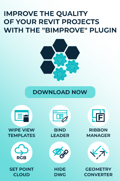
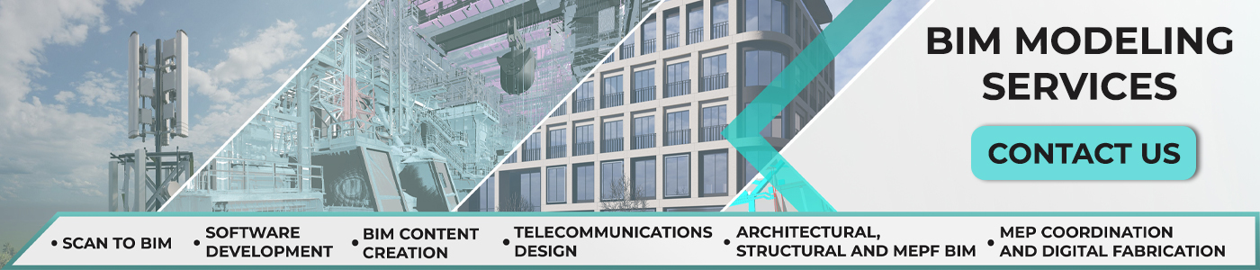
With the Scan to BIM Services at BIMPROVE we offer you precise parametric As-built BIM Models and 2D CAD Models with the help of Revit. If your company doesn’t want to take care of such project nuances and definitely is not aimed to hire more people, expand the office, or buy tech equipment - this type of collaboration is the best choice for you. Make sure to check our website to learn more about the whole spectrum of services we provide, including MEP, Telecom, BIM content creation, etc.
Benefits of Point Clouds
Point Clouds present fundamental benefits due to their high precision, versatility, and efficiency. Since, using this technology, you provide detailed, accurate 3D views of environments, it becomes an invaluable tool for modern construction industry practices and technological advancements. Here are some key aspects of why we appreciate Point Cloud:
High accuracy: Point Clouds capture precise geometric details of objects and territories, making them a perfect option for those industries that use exact measurements and comprehensive analysis.
Detailed 3D representation: They provide an accurate 3D view of the examined area or object, including the smallest details that other methods might miss. This detailed representation is crucial in architecture, engineering, and even archaeology.
Visualization and analysis: They enable exceptional visualization and thorough analysis of dimensional data, making easier and better decision-making and planning processes.
Digital Preservation: Point Clouds serve as a digital archive that saves information about buildings in high accuracy for future reference, restoration, or analysis.
Conclusion
In conclusion, we would like to add, that scanning has already become an integral part of the construction process in large, developed countries, such as the USA, EU countries, and the UK. As of today, even more countries have begun to master and implement scanning technology for better and more efficient construction. This move will increase the scanning market and will let it cover more countries all over the world in the future.
This fact is inspiring and gives us the needed “push” to develop this technology to the newest levels.
If you’re just thinking about whether you need to use scanning, our answer is 100% yes! When you make it, contact us, and we will create 3D models in different LODs and provide a five-star service for you.
BIM is a multi-purposed process that is just beginning to unfold, so let’s be a part of this amazing growth together. BIM is the future!
Share:


SOCIAL MEDIA


© Copyright BIMPROVE company LLC. All rights reserved 2026. Privacy Policy.